


I don’t know if you will remember but Google Maps was the default Maps app on the first iPhone. A map manager that has been integrated into the iOS ecosystem because of the quality of its execution. Over the years, Apple decided to divest itself of Google and created Apple Maps, the main competitor of Google Maps. Which is better? It’s a matter of taste, but the truth is that Google has a lot more information than Apple.
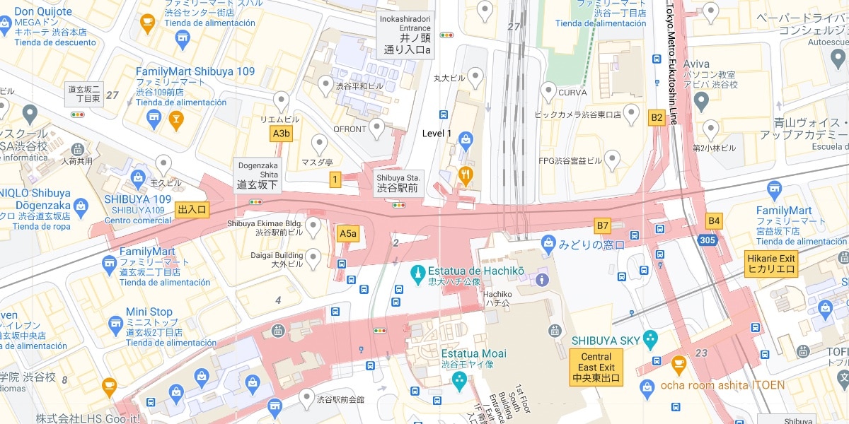
This update is part of the renewal of Google maps that they had already announced last August. Now they allow us to have more information at street level in cities like London (center), Tokyo, San Francisco and New York. The level of detail increases to the point that even streets have been updated at map level
the factory areas will also undergo renovation so that we know on a map see the state of the places where we want to move, that is to say that we will see the exact width of a range for example. This is part of the next step in digital mapping, we have pretty reliable world maps, and now companies want to modify them to make them more realistic. And you, Do you use Google Maps? Do you prefer Apple Maps?